Adjuster
Licensing & Training
Simplified
Become a licensed Claims Adjuster with AdjusterPro, the nation’s leading provider
of insurance adjuster licensing, exam prep, and continuing education courses.
Become a licensed Claims Adjuster with AdjusterPro, the nation’s leading provider
of insurance adjuster licensing, exam prep, and continuing education courses.
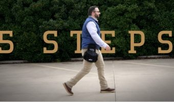

With all courses completely online, our training education is self-paced, convenient, and flexible.
Whether you're starting your career, maintaining your license, or growing your team, we've got you covered.
Wherever you are, we are your single source for adjuster training. It really is that simple.
“Thanks, AdjusterPro! The course, testing, and information you provided was invaluable & the cost of the course was more than worth it. This is an awesome program of study and I highly recommend it to someone looking for a new career.”
Wynne Dion
Insurance Adjuster
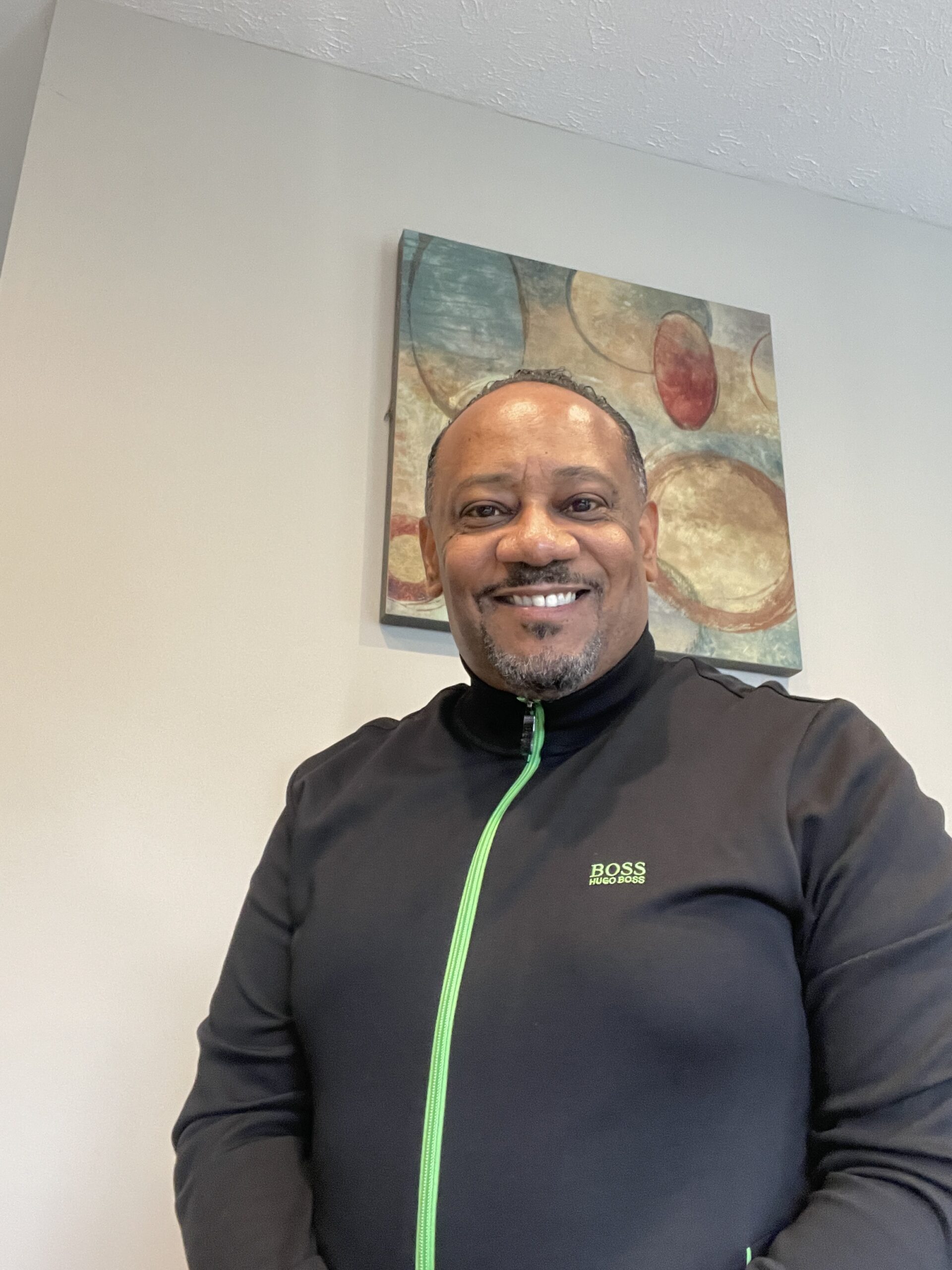
“After leaving the military I found renewed meaning and purpose on this path where I get to help people. Thanks to AdjusterPro’s licensing and training I was able to launch my adjusting career with confidence.”
Matt Daniels
Insurance Adjuster, US Air Force Veteran

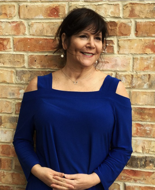
“I talked with them multiple times and asked a ton of questions…
They were always there to help and made me feel like I was their only customer.”
Bettina Wolpow
Insurance Adjuster
Discover why the nation’s top insurers, IA firms, and independent adjusters turn to AdjusterPro for training.